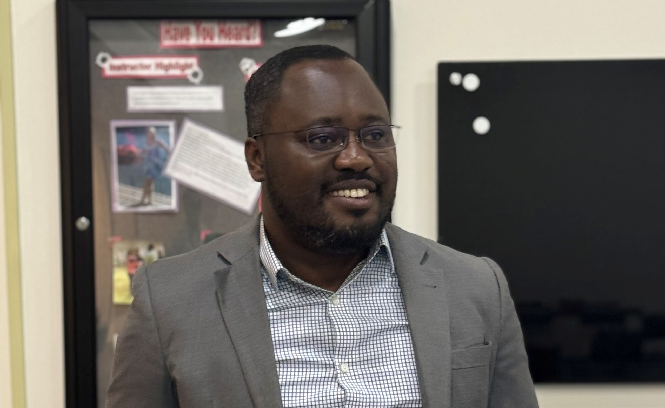
The government should invest more in simple but effective information technology tools such as drones and satellite imagery to help improve conflict awareness and reduce the risk of civilian casualties in Bawku and its environs, a PhD Candidate at the University of Cincinnati, USA has said.
Mustapha Awinsongya Yakubu, whose Doctor of Philosophy research focuses on crisis informatics and climate change systems, said while the government worked to peacefully end the protracted conflict, there was a need to ensure that lives and properties were properly protected.
“For example, unmanned aerial vehicles, commonly known as drones, can provide real-time aerial surveillance through the capturing of imagery and videos. This can be instrumental in identifying areas of conflict, tracking the movements of armed groups, and ensuring the safety of civilians,” Mr Yakubu said in a media interview.
The I.T. specialist was sharing his views on how the country can benefit from the I.T. and digitalisation boom with focus on conflict resolution.
Capital of the Bawku Municipality in the Upper East Region, the farming and trading community has been restive for years under an armed conflict between the two main ethnic groups.
The conflict has claimed the lives of hundreds of people and led to the destruction of properties running into millions of cedis, according to researchers and non-governmental organizations working to resolve the crisis. Efforts to bring lasting peace to the area have yielded limited results as fighting continues, leading to more civilian casualties and many fleeing the area.
The recent shooting of a person to death led to fresh tensions, with local authorities estimating that more than 200 lives have been lost to the fighting in recent years.
While bemoaning the menace, Mr Yakubu said preventive measures must take hold.
One of those, he said was by empowering inhabitants with real-time common operational picture tools of conflict zones like Bawku.
He explained that while adequately arming security services was relevant to defending civilians, there was the need to also tap the immense potential of information communications technologies to strengthen citizens’ awareness and ability to report suspicious activities.
He said I.T. tools could be deployed to empower the inhabitants as well as security forces deployed to protect lives and properties.
“For instance, it’s essential to have detailed knowledge of people’s movements, pinpoint hotspots of violence, and accurately gauge the general mood of the population. This level of situational awareness will significantly enhance the effectiveness of any response efforts,” Mr Yakubu said.
He noted that leveraging advanced technologies such as drones, satellite imagery, and mobile applications for real-time reporting could provide invaluable data making well-informed decisions in challenging environments.
“Satellite imagery is a valuable tool for monitoring large geographical areas and detecting changes over time such as the movement of displaced populations or the buildup of military forces and this can prove effective in helping empower both inhabitants and the security services when deployed properly,” he said.
He also mentioned mobile applications as another tool that can play a crucial role in empowering residents to report incidents anonymously and securely.
He said: “This ground-level data can provide valuable insights that might otherwise go unnoticed. Moreover, the implementation of data analytics and machine learning enables the processing and analysis of vast amounts of information from various sources and that helps to identify patterns and predict potential escalations, thereby enabling proactive measures to be taken rather than merely reactive responses,” he said.
SOURCE: CITINEWSROOM.COM


